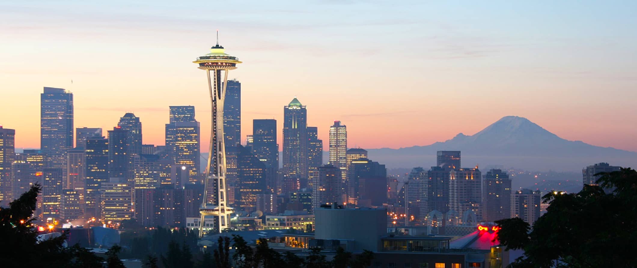
Seattle is emerging as a top travel destination for Labor Day, but drivers should prepare for traffic jams and high gas prices. Meanwhile, Professor Cliff Mass is predicting real downpours by the end of next week, dispelling myths about El Niño’s influence. And in West Seattle, a collision between a minivan and a cyclist at California and Genesee ended without serious consequences, although the injured person was taken to the hospital.
Seattle Tops Labor Day Travel Destinations: What Travelers Need to Know
Ahead of the final holiday weekend of summer, AAA analysts released data showing that Seattle has topped the list of the most popular Labor Day travel destinations in the United States. This is hardly surprising, given that more than 100 million Americans plan to travel over the weekend, with the vast majority choosing to drive. At the same time, experts point to encouraging news for those planning to fly or rent accommodations: compared with last year, airfares, hotel rates and car-rental prices have become noticeably more affordable.
Weather conditions in western Washington are expected to be favorable this weekend: dry weather and seasonal temperatures, with cooler conditions along the coast and warmer weather farther from the water. Brief showers are possible on Friday, however, and mountain areas face a slight risk of thunderstorms, particularly toward evening. Tourists traveling east across the Cascade Mountains should be prepared for changeable weather and a chance of thunderstorms, although temperatures there will be quite comfortable, ranging from 18 to 24 degrees Celsius.
Despite recent precipitation, wildfire season is not over yet, and authorities are reminding residents to follow safety precautions strictly: campfires must be completely extinguished, burning objects should not be thrown from car windows, and trailer chains must be securely fastened to prevent sparks on the road. Those planning to spend time on the water should remember that temperatures in Puget Sound remain low—about 10 degrees Celsius. Although the surface of lakes can warm to around 20 degrees, the water remains icy at depth.
According to forecasts from the state transportation department, road conditions will be challenging. The heaviest traffic on Snoqualmie Pass along I-90 is expected Friday and Saturday, particularly eastbound. Westbound traffic will also be difficult on Monday, with peak congestion expected from 10 a.m. to 7 p.m. The good news is that work on the Vantage Bridge will be suspended during the holiday, meaning all lanes will be open. Conditions on US 2 through Stevens Pass are expected to be similar. Those planning a trip to Portland and back should avoid traveling between 9 a.m. and 7 p.m. on any of the holiday days.
Washington State Ferries will also be crowded. Most travelers are expected to leave the mainland on Thursday and Saturday, while the return flow will begin Sunday and continue through Tuesday. Those who want to avoid hours-long lines are advised to consider traveling as pedestrians and leaving their cars on shore. Updated schedules are available on the ferry system’s official website.
Gas prices in the state remain high: a gallon of fuel costs an average of $5.37, 22 percent more than last year. The national average is significantly lower, at $4.14. Drivers may find better prices in individual counties, including Whatcom and Skagit in the west, as well as Yakima, Spokane and other eastern counties, where prices are approaching $5 per gallon.
Seattle-Tacoma International Airport is preparing to handle approximately 180,000 passengers a day throughout the holiday period. Travelers are advised to arrive two hours before departure, or preferably three. Consider using the SEA Spot Saver program, which can speed up the screening process, as well as the new checkpoint at the southern end of the baggage-claim area, which is traditionally less crowded. Another option is the smaller Paine Field airport in Snohomish County, which operates 24 daily flights to destinations across the country, including the San Juan Islands.
For rail travelers, Amtrak reports that trains will be busy this weekend, but there will be enough seats for everyone who wants to travel. The busiest days are expected to be Thursday, Friday, Sunday and Monday.
Overall, despite possible traffic and line-related inconveniences, experts recommend planning routes and travel times in advance to make the most of the last days of summer. As meteorologist Ted Buehner notes in his article for mynorthwest.com, the key to a successful trip is flexibility and a willingness to adapt—especially when traveling to such a popular destination as Seattle.
Seattle’s Rainy Season: When to Expect a Real Downpour—and Why There’s No Need to Panic
Residents of western Washington have already enjoyed warm weather this summer, but, as is typical in the region, autumn is arriving quickly. Forecasters, including University of Washington atmospheric sciences professor Cliff Mass, warn that the light drizzle currently passing over the area is merely a prelude to genuine autumn weather. According to the expert, substantial rains capable of dramatically changing conditions and relieving residents of the need to water their lawns will arrive no earlier than next weekend. Mass himself advises against dramatizing the situation: what lies ahead is a normal seasonal transition for the region, not a climate catastrophe.
Professor Mass, known for his fondness for precise figures, shared a fairly specific forecast during an interview on The Jason Rantz Show on Seattle Red 770 AM. He explained that the weather would remain relatively dry over the next few days, but that a powerful system would reach the region by the end of next week, bringing approximately an inch of rain. That amount of moisture, he said, would be more than enough to end the need for artificial watering: “You can forget about having to water your garden or anything else outside after next weekend. There will be enough rain to keep everything in good shape.” The rain will also bring long-awaited cooler temperatures, with daytime highs barely reaching 19–20 degrees Celsius, finally putting an end to talk of heat waves.
Interestingly, many residents exhausted by the summer heat are trying to find someone to blame for autumn’s early arrival, and El Niño is often the main suspect. Mass categorically rejected that theory, calling what is happening “ordinary and average.” He emphasized that El Niño’s influence on local weather begins to be felt only closer to winter, while the current transition is entirely typical for this time of year. What is more, the expert believes the summer itself was not particularly unusual: a few days above 30 degrees and a warmer, drier June were about the extent of the deviations from normal. The only truly surprising event, in his view, was a series of thunderstorms in mid-July, which he called “exceptional” because they triggered most of this year’s fires in grasslands and pastures. Without those lightning strikes, Mass says, Washington’s wildfire season would have been entirely unremarkable.
The professor’s statement once again raises the issue of his long-running dispute with state officials, who declared a drought emergency in the spring even though reservoirs were full. Mass has repeatedly criticized such measures in public, calling fire warnings “bogus” and attempts to predict the fire season based on mountain snowpack unscientific. More about the expert’s position can be found in the original article on Seattle Red, where he explains why the relationship between drought and wildfires in the region is not as straightforward as officials portray it.
The bottom line is this: the region is on the verge of a typical cool, wet autumn in the Pacific Northwest. Sun lovers will have to be patient—and keep their umbrellas handy—while gardeners can finally take a break from daily watering. As for El Niño, its real influence will be felt in December and January. For now, what is happening is simply a turn in the weather to which local residents have long grown accustomed.
Collision at California and Genesee: Details of the West Seattle Incident
On Wednesday afternoon, at around 4:30 p.m., Seattle emergency services were alerted to a traffic collision at the intersection of California Avenue and Genesee Street. According to local news outlet West Seattle Blog, the crash involved a minivan driver and a cyclist. Firefighters and police units arrived quickly, and the west side of the intersection was partially closed, creating some disruption during rush hour.
Based on the first information published at 4:32 p.m., the situation initially appeared alarming, but more reassuring details emerged by 4:48. Firefighters canceled the request for an ambulance crew—a decision generally made when there is no threat to life or need for immediate resuscitation due to severe injuries. Nevertheless, according to a witness who submitted photos from the scene, one of the people involved was taken to the hospital by ambulance, though not on an emergency basis. This indirectly suggests that the injured person, most likely the cyclist, suffered bruises or abrasions, but that doctors did not consider the condition especially serious.
By 4:55 p.m., the fire department had officially closed the call, indicating that work at the scene was complete and normal traffic had resumed. Police are continuing to investigate the circumstances, although the brief report does not specify who was at fault—the driver who failed to see the cyclist or the cyclist who may have violated intersection rules.
For those unfamiliar with the local area, the California and Genesee intersection is one of the busiest nodes in West Seattle’s Junction neighborhood, where cars, public transportation and cyclists frequently cross paths. Bicycle traffic is fairly heavy because of the dedicated lanes, but, as experience shows, crashes involving two-wheeled vehicles occur in the area with troubling regularity. This has concerned local activists campaigning for improved safety infrastructure.
Although the incident did not result in tragic consequences, it once again raises an important question about how drivers and cyclists interact on public roads. Road-safety experts repeatedly remind the public that even a low-speed collision between a car and a bicycle can cause serious injuries because of the difference in mass and the cyclist’s lack of protection. Such incidents also often occur because of so-called blind spots—areas around a vehicle that the driver cannot see even in the rearview mirrors, particularly when the vehicle is as large as a minivan.
Notably, emergency services responded quickly in this case, and the alert system allowed residents to be informed promptly through social media and local blogs. However, observers note that every such incident should prompt not only an investigation but also preventive work with road users. Drivers should pay closer attention to lateral clearance when passing cyclists, while cyclists should use reflective gear and helmets even during daylight hours. Fortunately, this time the consequences were relatively minor, but the cost of carelessness on the road could have been far higher.